New Mexico Picked a Fight Over the Map. Four of Its Counties Would Rather Be Texan.
The New Mexico Ranger posted a map of New Mexico swallowing West Texas. Daniel Miller answered with the Republic's 1836 boundary, the one that took in Santa Fe, and four words: "Don't push your luck." The only counties actually moving to change states are New Mexico's.

An account called The New Mexico Ranger posted a map on Sunday showing New Mexico enlarged to swallow West Texas out past the Pecos, captioned “Behold greater New Mexico.” Daniel Miller answered it that night with a map of his own.
Miller’s was the Republic of Texas as it drew itself in 1836, the boundary that followed the Rio Grande to its source and then ran due north, taking in Santa Fe and reaching into what are now five other states. His caption was four words. “Don’t push your luck.”
It has been seen more than 90,000 times, and it landed because of the difference between the two maps. New Mexico’s greater self is a wish. Texas’s was law, a boundary the Republic declared, organized into counties, and sent armed men to enforce. One map takes a wedge of West Texas. The other takes Santa Fe.
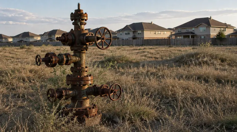
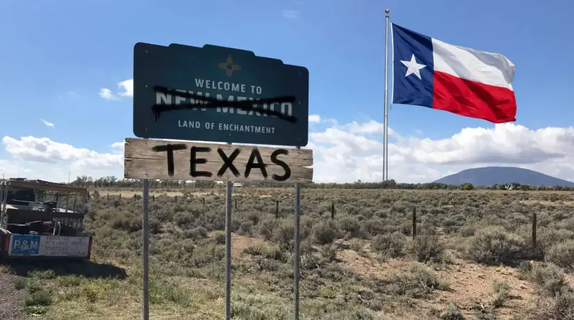
The record underneath the joke runs one direction as well. The only counties in this argument that have actually moved to change states are New Mexico’s, and the state they were trying to join is Texas. In January, New Mexico Reps. Randall Pettigrew and Jimmy Mason filed House Joint Resolution 10, which would have let three or more contiguous counties vote themselves out of New Mexico. The counties in question, Lea, Eddy, Chaves, and Otero, sit on the Texas line and run on the Permian Basin. Two of them, Lea and Eddy, send Santa Fe more than half the state’s general fund revenue. Texas House Speaker Dustin Burrows answered on X that Texas “would gladly welcome Lea County back to Texas, where it rightfully belongs.”
The resolution died in committee. The idea did not. On March 26 Burrows charged the Texas House Governmental Oversight Committee with studying the implications of “adding to Texas one or more contiguous counties of New Mexico,” and with drafting the legislation to begin it.
The map Miller posted is not a fantasy either. Texas carried the claim through annexation and then set about enforcing it, organizing Santa Fe County and sending a commissioner to stand up county government in the disputed country. In the summer of 1850 Governor Peter Hansborough Bell called a special session and asked the Legislature for authority to send a military force sufficient to enforce Texas authority there. The federal garrison sat at Santa Fe. Washington reinforced it and answered that federal troops would meet any Texas militia that came. The standoff did not end with Texas backing down. It ended with Congress buying the claim. Ten million dollars, enough to clear the Republic’s debts, for the land north and west of the line: about a third of the territory Texas claimed, some 98,300 square miles now lying in New Mexico, Colorado, Kansas, Oklahoma, and Wyoming. Texans ratified the bargain three to one.
Underneath the map trading there is a real principle, and it only cuts one way. The case for Texas independence rests on a single sentence: the people who live in a place should decide how that place is governed. That sentence does not permit a vote on ground where you do not live. It also does not stop at a state line. If four counties in southeastern New Mexico have the right to decide whether Santa Fe governs them, then Texans have the right to decide whether Washington governs Texas.
New Mexico can draw whatever map it likes. Texas does not need to draw one. The line moves when the people standing on it ask, and so far the only people asking are New Mexicans.
See more of the Partisan in Google’s Top Stories.Add as a Preferred Source on Google
Read Next
Fifth Circuit Upholds Texas Law Keeping Chinese-Owned Company Off the Grid
The Fifth Circuit held that federal foreign-investment review does not preempt the Lone Star Infrastructure Protection Act, keeping a China-owned solar developer off the Texas grid.