Mexico Says Treaty, Not Texas, Decides Status of Nine Rio Grande Islands
Mexico says the 1970 treaty and a two-government commission, not Texas, decide which side of the boundary nine Rio Grande islands fall on. Texas's map puts all nine on its side.

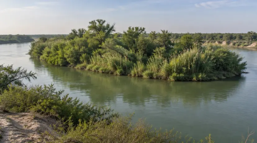

Mexico’s Foreign Ministry said October 30 that no Texas authority can decide which side of the international boundary nine Rio Grande islands fall on, days after the Texas General Land Office declared the islands state property.
“The border between Mexico and the United States cannot be modified by the decision of a state government,” the ministry said in a note published in Spanish.
The Land Office announced October 26 that the nine islands, about 66 acres in all, belong to Texas, and opened them to state police and the Texas Military Department.
What Mexico Said
The ministry’s note rests on the Boundary Treaty of 1970. It says the international limit runs along the center of the river’s normal channel, and that the limit determines sovereignty over the land on each side, whatever that land’s earlier sovereignty.
The International Boundary and Water Commission, a body of the two federal governments, is the one empowered to apply the treaty and determine which side of the line each island is on, the note says. “No state authority has that power.”
The note also says neither country may build works that the commission judges could divert or obstruct the river’s normal flow. Mexico will follow “any action in the area,” it says, and will keep using the existing bilateral channels. It announces no formal complaint.
What Texas Claimed
The Land Office’s letters speak of ownership, not of moving a border. U.S. Customs and Border Protection had asked about 28 islands “whose ownership had not been definitively established,” the letters say, and the office concluded that nine are state property. Operations on them “must be conducted in accordance with any applicable state and federal laws.”

Land Commissioner Dawn Buckingham told NewsNation that 20 islands were surveyed and that the 11 not claimed are likely Mexican property based on where they sit in the river. “We want to be sure that every square inch that is Texas is declared Texas,” she said.
The Land Office’s own map supports that reading. It draws the International Boundary Line on the Mexican side of each of the nine islands. Mexico’s note does not address the map. It says the question belongs to the commission, which the treaty charges with drawing the line.
The Texian Partisan found no public reply from the Land Office or the commission by Saturday evening.
The commission has challenged a Land Office claim before. In 2024 it said Fronton Island, the 170-acre Starr County island Buckingham declared state land in 2023, is federal property, KRGV reported. The Land Office still says it belongs to Texas, NewsNation reported.
Land and Line
The dispute runs back to the 1845 joint resolution that brought Texas into the union. The Republic of Texas kept “all the vacant and unappropriated lands lying within its limits.” It left “all questions of boundary that may arise with other governments” to Washington.
A border the Republic could not hold was one of the two problems that drove it to annexation, the Texas Nationalist Movement (TNM) argues in *The TEXIT Blueprint*. Washington has held the question since. Its 1970 treaty recorded that Mexico “will receive a greater number and acreage of islands than the United States,” and moved 252 acres to the Texas side of the river in recognition of it.
Texas can hold title to an island and still have no vote on which side of the boundary it falls. An independent Texas would deal with Mexico directly, through treaties of its own.
See more of the Partisan in Google’s Top Stories.Add as a Preferred Source on Google
Read Next

Potter County Republicans Sue to Hand Count Every Texas Ballot Before Certification
The county party asks a federal court in Amarillo to bar certification of Texas federal races until every paper ballot in every precinct is counted by hand.